During Section 6 of the Nevada Trail, you'll have your greatest chance of seeing other hikers. This is because this section follows the Ruby Crest Trail in its entirety. Also a National Recreation Trail, the RCT is more popular and in so many ways wetter than the Toyiabe Crest Trail. Along this section there are not just creeks to cross, but lakes to swim in, and more snow to deal with than along the entire rest of this trail.
The Ruby Mountains are an echo of the High Sierra and some of the more rugged miles of the NVT, geologically speaking. Also home to mountain goats, this section has lots of opportunities for wildlife encounters.
Although the RCT is popular, by Nevada Trail standards, finding a campsite is never an issue. The trail is well marked and the views never dull. The Ruby Crest Trail ends at the Lamoille Canyon Trailhead.
Reaching the end of this section, in 2012, I learned the fourth lesson of the NVT. The snow was overwhelming and I opted to head home for a few weeks to give the northern Rubies time to melt off. In 2016, my timing was much better and I was able to continue into Section 7 without waiting, and without snow to deal with.
From Lamoille Canyon Trailhead, I hitched into the town of Elko to resupply. Getting a ride to town and back was relatively easy as this is a popular place for day hikes and weekend trips.
***In 2018, there was a fire that closed Lamoille Canyon to traffic and usage. It has since been reopened. To learn more about this fire, visit these links:
Initial Fire Report:
https://elkodaily.com/news/local/touring-the-damage-from-lamoille-canyon-fire/article_b0a241cd-2d55-535e-96b5-687cdb9ef8a3.html
Fire Recovery Update:
http://rubymountaintrails.blogspot.com/2018/11/lamoille-canyon-fire-recovery-update.html
Fire Closure Lifted Announcement:
https://www.kolotv.com/content/news/Lamoille_Canyon_reopens_after_Range_2_fire-501819661.html
Up until 2017, the main grocery store in Eureka, NV was located in the middle of downtown. Nowadays, it's located a mile out of town. This is inconvenient for a pre-hotel resupply, but fortunately, it's still passed on the way out of town.
To stock up on superfoods and lightweight camping foods, I had mailed a resupply box to Eureka and only needed to visit Raine's Market for fresh produce and bonus snacks. I also have to admit that the new store, which I explored during a recent road trip, is far better and more stocked than it's previous edition.
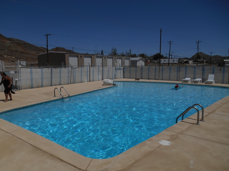
The town of Eureka also has a community swimming pool, which was the busiest of them yet.
In 2016, I left town reunited with Stacey, Bernie, and unexpectedly a bike-packer who upon hearing about our adventure decided to join us for the next summit. Located just above town, Diamond Peak is not only an impressive summit view, but the start of the longest and most adventurous trail-less segment of the NVT.
After spending the night just below the summit, we attained the top, watched the sunrise, then parted ways. I lingered on top longer while Stacey and Bernie went ahead.
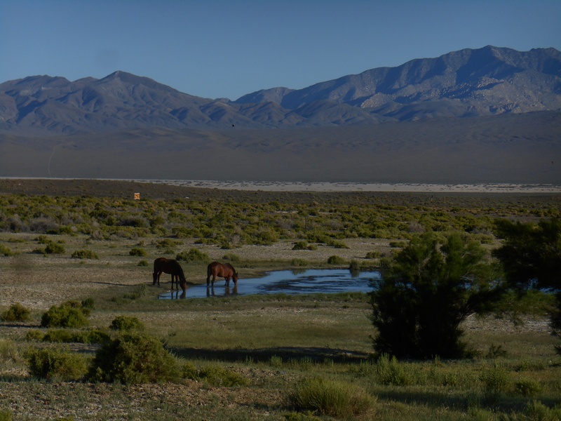
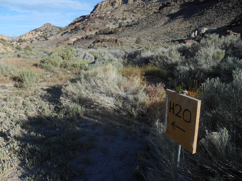
This XC crossing of the Diamond Range is approximately 31.2 miles in length. Although labeled as XC, a fair amount of it is made following wild horse trails. On both ends of this crossing are springs. During the crossing itself, there may be snow to melt and if you're lucky, run-off to be captured without having to melt.
Safely on the far side of the range, the NVT joins the historic Pony Express Trail and follows it across the dry Newark Valley. Throughout this crossing, lookback views of the Diamond Range are enjoyed, along with occasional juniper trees which provide shade and soft resting places.
Leaving the Pony Express, a series of steep jeep roads and trail-less segments leads to another impressive summit, Pearl Peak. Here, I encountered mountain goats during both of my journeys. Approaching the summit, the strong Headwaters Creek is passed along with leftover cornices of snow. These are undoubtedly some of the most striking miles of the trail as they overlook the Ruby Lakes basin and the Ruby Mountains, which are traversed during the next section.
After a dramatic and unforgettable descent from Pearl Peak following the crest of the Dragon's Tail, the first traffic since leaving Eureka is likely met when you reach Harrison Pass. This well-traveled dirt road marks the end of Section 5 and the beginning of the Ruby Mountains.
Before beginning Section 4 of the NVT, there are several ways to access the town of Austin. While Stacey and Bernie had walked in, I had decided to wait until crossing an upcoming road, Hwy 396, where I hitched in.
After having breakfast with them at the International Café, I resupplied at the post office, visited the community pool, and a few hours later was back at the crossing, but now a half a day ahead of them.
Under afternoon cloud-shade, I made a swift crossing of Big Smoky Valley then reached the third hot spring area of the NVT, Spencer.
Spencer Hot Springs is undoubtedly one of the most scenic soaking spots on the entire HST and is no secret among the hot spring community. But for as many people who have been here, almost no one has ever walked to it.
After an evening of soaking and gazing at the Toyiabe Crest, I headed out the next morning for a trail-less crossing of the Toquima Range. This lead to another highlight of the trail, the geographic center of Nevada. After proper celebrations, I continued over the next few days, crossing the Monitor Range.
Once into the Antelope Valley, the first and only hot spring resort of the NVT is encountered. Before starting the trip, I had contacted the owner and secured permission to visit and was not disappointed. This spring truly has some of the best tasting water on the entire HST and is also a basecamp for yoga retreats and backcountry ski trips in the winter.
With enough water to reach the town of Eureka in my bottles, I headed out of Hot Springs Ranch feeling on top of the world.
Already in Nevada, I've had more encounters with wild horses than on any other hike I had done, and on this evening, I had a small herd sharing my camp with me.
On the afternoon of Day 7, I left the town of Tonopah and began Section 3 with enough food to get to Austin, 136 miles away. I also had enough water to go 44.6 miles to Peavine Canyon, well sort of. I actually only had enough to go 36.8 miles and was hoping that a water source 7.8 miles from town was good, which it was. Due to the nature of this area, I didn't want to count on Frazier Well for my entire supply, which was 2 gallons.
Topped off and still hydrated, I set up camp at the start of the first major cross-country section of the NVT, the San Antonio Range. This is a rocky but relatively straight-forward crossing that is both scenic and a highlight of the trail. On the far side, the remaining 20.5 miles to Peavine Canyon go rather quickly and are made on seldom-used jeep roads, judging by the looks of them.
Although I saw no traffic during this time, I did see some other hikers. For this XC crossing, I had teamed up with Stacy and Bernie, who began their journey in Santa Barbara as well but whom I had met for the first time in Tonopah. They are both Triple Crown hikers and were out doing the entire Hot Springs Trail as well.
Once into Peavine Canyon, the driest miles were behind me and water was no longer and issue. Before long we were on the Toyiabe Crest Trail, a National Recreation Trail that we followed across the mighty Toyiabe Range.
On the far end of the TCT is the option to continue along the crest of the range XC, which I did in 2012 and really enjoyed. In 2016 however, I established a lower route which utilized jeep roads and provides an official alternate for those wanting to avoid this trail-less segment, or for when weather is not favorable for traveling on top of the range.
Reaching Birch Creek signified the end of the Toyiabe Range crossing. This is where the third lesson of the NVT was learned - the importance of constant rehydration. With the luxury of creeks over the past few days, I had slacked on my topping off and now had a slight case of chapped lips, a sure sign of dehydration. Before leaving the shade and accessibility of Birch Creek, I made sure I was peeing clearly again.
As I was saying, during both of my trips across Nevada I had camped at Alkali Hot Springs, and during both trips I had awoken at 3 am and soaked under the stars. The difference was, on the second occasion I was mindful to keep my feet out of the water so as not to soften them up, which can lead to unwanted blisters during the hike to Tonopah.
By the time first light had appeared on the horizon, I was already a few miles away from Alkali. Traffic between the hot springs and the town of Tonopah is pretty much non-existent due to the route which is followed.
Vacant jeep roads lead me across a vast desert basin and directly into town; where hotels, grocery stores, buffets, and another community swimming pool awaited.
On both of my journeys I was in town by noon.
The day in Tonopah can go quickly, as there's lots to do and other travelers to engage with. This is also a good time to catch up on hydration and the first opportunity to get fresh fruits and vegetables.
It was reassuring to know that at this point, mile 89.5 of the NVT, I already had some of the most desolate miles behind me. After a solid night's rest and another hot soak in the hotel bathtub, I was ready to continue.
During both of my journeys along the Nevada Trail, I spent the entire afternoon and evening at Alkali Hot Springs. On site is a massive cottonwood tree which provides shade and overflow ponds which attract wildlife. When visiting this spring, there are two things you should know.
Don't camp at the springs. Camp behind them away from the road. This will ensure you have a quiet night; plus, it's more considerate to the locals, which may visit during the night.
Don't expect to drink this water, unless you like the taste of alkaline water. My strategy was to flag down traffic and score a refill. This may take several cars to complete. Also, in my experience, the far majority of traffic that will be seen here, which isn't a whole lot, will not be stopping at the springs. While everyone was friendly and understanding of my situation, the majority of them seemed to be heading between the mine and Tonopah, and not out sightseeing.
That said, the sightseeing at Alkali is out-of-sight and the wildlife, outstanding. This is another oasis that can be hard to leave but eventually, I had too. This is also where I learned my second lesson of the Nevada Trail.
On the morning of NVT Day 3, I heading into Silver Peak, a small outpost that services an active mine. Expecting the worst, I was pleasantly surprised by how non-intrusive it was to the hike. On the contrary, it was quite peaceful and scenic.
During the first journey, I had bypassed the outpost and continued on to the next hot spring area, reaching it by noon. In 2016 however, I utilized the post office, saloon, and community park; which has picnic tables, shade, and a seasonal community swimming pool that was open and offering hot showers as well. It was so nice, I spent the entire day there.
As the sun began to dip behind the Silver Peak Range, I headed out. With shade surrounding me, I walked past the evaporation pools of this relatively quiet Lithium mine, the only active one in the US. On the far side of it, I left the main road, then continued on a jeep road which led to private, but dry, stealth camping sites.
This region of the country is known for having some of the darkest skies, and on this night, the Milky Way and the universe at large was incredible to witness.
After a morning soak, I headed out and completed the first trail-less segment of the NVT, a brief crossing of an alkali flat which ended at an intersection with a dirt road. From here, the NVT utilizes dirt roads to expedite travel over the Silver Peak Range. Approaching and descending from this range during the early and evening hours of the day, under alpenglow light, was truly a pleasure. During both trips, I had spent the high-noon hours of the day resting at the highpoint of the crossing, under the shade of mature juniper trees, and both times I had camped just shy of the first resupply of the NVT, Silver Peak, a small outpost at an active mine.
Before reaching the highpoint, I had topped off my water at a spring which is located next to the road and labeled in the guidebook as Coyote Summit Spring. On the far side of Coyote Summit, the highpoint of the crossing, there's also a Coyote Spring, but there's no water to be found there.
After leaving the protection of trees and steep canyon walls, the NVT opens up and enters the Fish Lake Valley, a expansive region with a worthy destination at its center. Hard to miss, and even harder to leave, Fish Lake Hot Springs is a friendly and rejuvenating place to spend an afternoon, if not the entire second night of the trip.
While shade is hard to come by here, wildlife encounters and gemstones are abundant. During the first hike-in visit, I utilized the shade from the only structure around, the restrooms. In 2016, I arrived later in the day and it wasn't as much of an issue.
This is a true oasis and a good place to maintain hydration, as there is a spigot where drinkable water can be obtained. It's also a good place to learn the first lesson of the NVT, solitude and community. While I had seen no one during my hike from Boundary to the springs, once at the spring, I met quite a few interesting characters. Mostly locals but some travelers too. Everyone was nice and especially so once learning I had hiked-in. Most people drive.
After a successful summit, looking up at Boundary and Montgomery Peaks from the comfort of the hot springs pool was a feeling I hadn't experienced on any other long-distance trail I had done before, and I didn't want the moment to end. Inevitably though, evening arrived and the view faded to darkness; fortunately, the soaking and scenic viewing, this time of the stars, continued.
One of our members, will soon be circumnavigating one of the coolest lakes in Quebec by kayak